
Dataja:Germany location map.svg

Wersija z wyšim rozeznaćom (SVG-dataja, zakładna wulkosć: 1.073 × 1.272 pikselow, datajowa wulkosć: 452 kB)
Zjeće
| wopis |
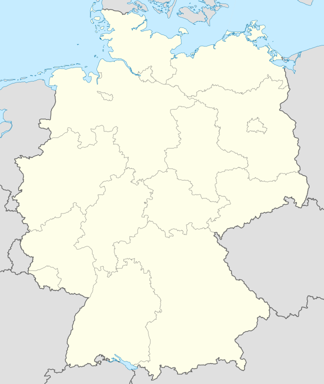
Quadratische Plattkarte, N-S-Streckung 150 %. Geographische Begrenzung der Karte:
Equirectangular projection, N/S stretching 150 %. Geographic limits of the map:
Français : Carte de l'Allemagne |
||
| datum | |||
| žórło | Swójske dźěło, using United States National Imagery and Mapping Agency data | ||
| awtor | NordNordWest | ||
| druhe wersije tuteje dataje |
Derivative works of this file:
Bundesrepublik Deutschland (vor 1990 nur West-Deutschland):
Deutsche Demokratische Republik (mit BRD im Ausschnitt):
Ostdeutschland (vor 1990 Deutsche Demokratische Republik):
Deutschland zwischen Mai 1945 und Oktober 1949:
Thematisch:
Deutsches Reich (1918–1945) (best used with this template (de)):
|
||
| SVG‑Erstellung | Tuta wektorska grafika je so z Adobe Illustrator zdźěłała.
|


_23_May_1949_-_6_Oct_1949.svg)


_location_map.svg)
_location_map_2013.svg)


_location_map.svg)
Licencowanje

|
Směće tutón dokument pod wuměnjenjemi licency GNU Free Documentation License, wersija 1.2 abo nowša wersija, wozjewjeneje wot załožby Free Software Foundation kopěrować, rozšěrjeć a/abo změnić; njejsu njezměnite wotrězki, njeje žadyn prědni a žadyn zadni wobalkowy tekst. Kopija licency je we wotrězku z titulom GNU Free Documentation License wobsahowana. |
- Směš:
- zhromadnje wužiwać – dźěło kopěrować, rozšěrić a dale dać
- změšeć – zo by dźěło přiměrił
- Pod slědowacymi wuměnjenjemi:
- připokazanje – Dyrbiš informacije wo awtorstwje podać, wotkaz k icency přidać a podać, kotre změny sće přewjedł. Móžeće to na přihódne wašnje činić, ale nic tak, zo zaćišć nastawa, zo licencudawar was abo waše wužiwanje podpěruje.
- dźělić – Jeli tute dźěło měnješ, přetworjuješ abo na njo natwarješ, móžeš hotowe dźěło jenož pod samsnej abo podobnej licencu kaž tuta rozšěrić.
Wersije dataje
Klikń na wěsty čas, zo by wersiju dataje w tutym času zwobraznił.
| Čas | Wobrazowy napohlad | Rozeznaće | Wužiwar | Komentar | |
|---|---|---|---|---|---|
| aktualnje | 16. septembra 2013, 14:51 | | 1.073x1.272 (452 kB) | SokoWiki | Clearer borders. |
| 16. septembra 2013, 10:34 |  | 1.073x1.272 (452 kB) | NordNordWest | Reverted to version as of 12:32, 2 October 2012; didn't make anything better | |
| 16. septembra 2013, 10:34 |  | 1.073x1.272 (452 kB) | NordNordWest | Reverted to version as of 12:32, 2 October 2012; didn't make anything better | |
| 15. septembra 2013, 22:08 |  | 1.073x1.272 (451 kB) | SokoWiki | * | |
| 2. oktobra 2012, 14:32 |  | 1.073x1.272 (452 kB) | Palosirkka | Reverted to version as of 20:14, 5 August 2012 Location maps must remain very accurate | |
| 2. oktobra 2012, 07:40 |  | 1.073x1.272 (396 kB) | Palosirkka | Scrubbed with http://codedread.com/scour/ | |
| 5. awgusta 2012, 22:14 |  | 1.073x1.272 (452 kB) | NordNordWest | upd | |
| 19. januara 2010, 12:03 |  | 1.073x1.272 (490 kB) | NordNordWest | update | |
| 22. julija 2009, 10:33 |  | 1.075x1.273 (608 kB) | NordNordWest | c | |
| 13. oktobra 2008, 16:36 |  | 1.075x1.273 (606 kB) | NordNordWest |
Datajowe wužiwanje
Dataja so na slědowacych stronach wužiwa:
- Wužiwar:Tlustulimu/PołoženskaMapa
- Předłoha:Infokašćik město/testy
- Předłoha:LocMap
- Předłoha:LocMap+
- Předłoha:LocMap+/Dokumentacija
- Předłoha:LocMap+/testy
- Předłoha:LocMap/Dokumentacija
- Předłoha:LocMap/hrajkanišćo
- Předłoha:LocMap/hrajkanišćo/Dokumentacija
- Předłoha:LocMap Němska
- Předłoha:LocMap Němska Badensko-Württembergska
- Předłoha:LocMap Němska Bayerska
- Předłoha:LocMap Němska Berlin
- Předłoha:LocMap Němska Braniborska
- Předłoha:LocMap Němska Bremen
- Předłoha:LocMap Němska Bremen (město)
- Předłoha:LocMap Němska Delnja Sakska
- Předłoha:LocMap Němska Durinska
- Předłoha:LocMap Němska Hamburg
- Předłoha:LocMap Němska Hessenska
- Předłoha:LocMap Němska Mecklenburgsko-Předpomorska
- Předłoha:LocMap Němska Porynsko-Pfalca
- Předłoha:LocMap Němska Posaarska
- Předłoha:LocMap Němska Sakska
- Předłoha:LocMap Němska Saksko-Anhaltska
- Předłoha:LocMap Němska Schleswigsko-Holsteinska
- Předłoha:LocMap Němska Sewjerorynsko-Westfalska
- Předłoha:Poziciska mapa
- Předłoha:Poziciska mapa/Dokumentacija
- Předłoha:Połoženje
- Předłoha:Połoženje/Dokumentacija
- Diskusija k předłoze:Infokašćik město/hrajkanišćo
Globalne wužiwanje dataje
Slědowace druhe wikije wužiwaja tutón wobraz:
- Wužiwanje na af.wikipedia.org
- Wužiwanje na als.wikipedia.org
- Weil der Stadt
- Schopfheim
- Rheinfelden (Baden)
- Rümmingen
- Lörrach
- Kehl
- Steinen (Baden)
- Weil am Rhein
- Bad Säckingen
- Freiburg im Breisgau
- Schwörstadt
- Augsburg
- Zell im Wiesental
- Maulburg
- Offenburg
- Ötigheim
- Hamburg
- Renchen
- Konstanz
- Furtwangen im Schwarzwald
- Görwihl
- Ebringen
- Müllheim im Markgräflerland
- Pfaffenweiler
- Calw
- Au (Breisgau)
- Merzhausen
- Sölden (Schwarzwald)
- Schallstadt
- Bollschweil
- Ehrenkirchen
- Wittnau (Breisgau)
- Vörstetten
- Achern
- Wehr (Baden)
- Vogtsburg im Kaiserstuhl
Globalne wužiwanje tuteje dataje pokazać