
Dataja:Paris department land cover location map.svg

Größe der PNG-Vorschau dieser SVG-Datei: 800 × 521 pikselow. Druhe rozeznaća: 320 × 208 pikselow | 640 × 417 pikselow | 1.024 × 667 pikselow | 1.280 × 834 pikselow | 2.560 × 1.667 pikselow | 1.371 × 893 pikselow.
Wersija z wyšim rozeznaćom (SVG-dataja, zakładna wulkosć: 1.371 × 893 pikselow, datajowa wulkosć: 6,75 MB)
Zjeće
| Titul |
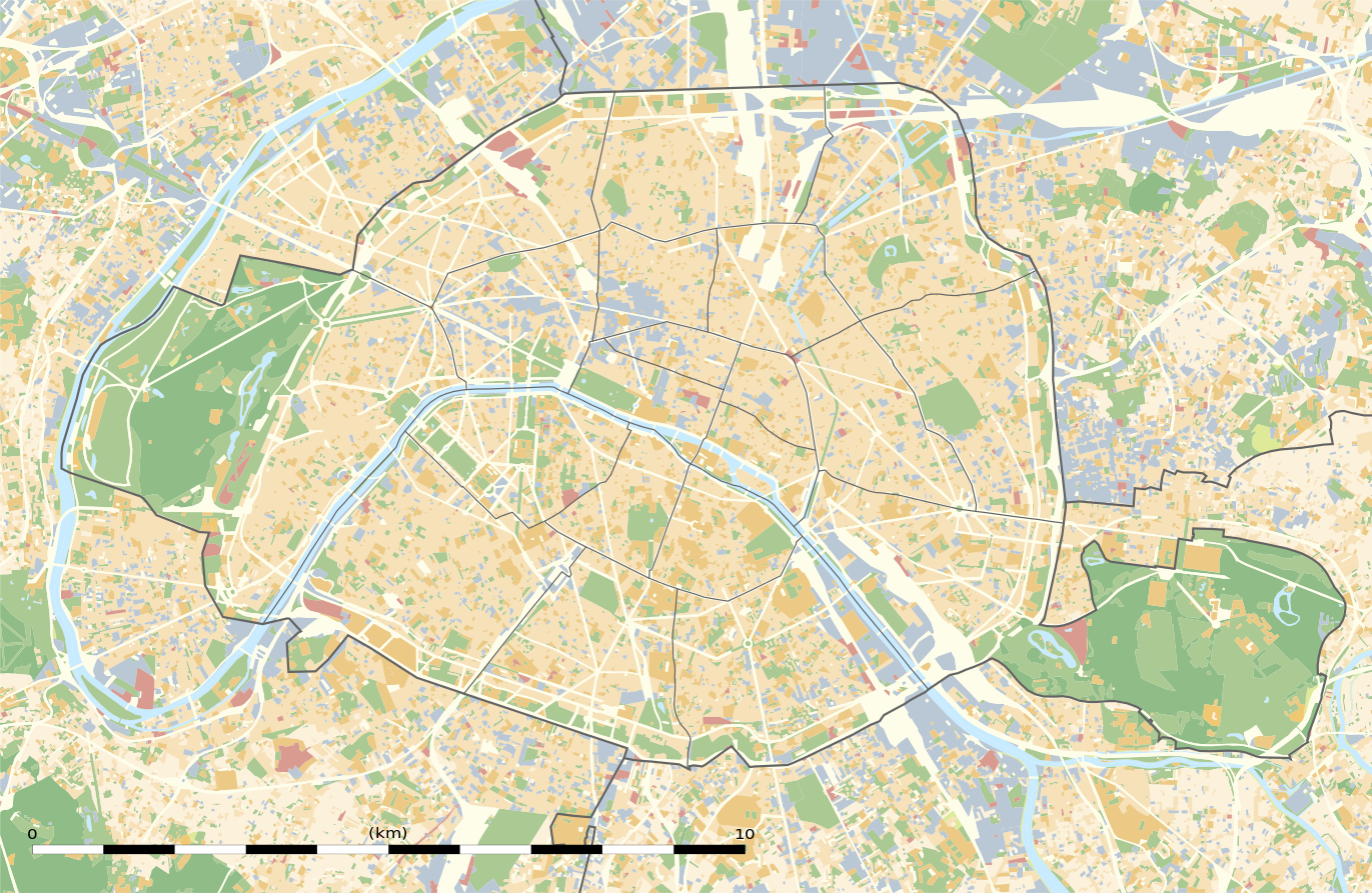
Blank land cover map of the city and department of Paris, France |
||||||||||||||||||||||||||||||||||||
| Beschreibung |
English: Blank land cover map of the city and department of Paris, France, as in January 2012, for geo-location purpose, with distinct boundaries for departments and arrondissements.
Français : Carte vierge de l'occupation du sol de la ville et département de Paris, France, tel qu'en janvier 2012, destinée à la géolocalisation, avec limite distincte des départements et arrondissements. |
||||||||||||||||||||||||||||||||||||
| Legenda |
|
||||||||||||||||||||||||||||||||||||
| datum | |||||||||||||||||||||||||||||||||||||
| žórło |
Swójske dźěło
|
||||||||||||||||||||||||||||||||||||
| Tworićel | |||||||||||||||||||||||||||||||||||||
| dowolnosć (dalewužiwanje tuteje dataje) |
|
||||||||||||||||||||||||||||||||||||
| Kartografische Angaben | |||||||||||||||||||||||||||||||||||||
| Abgebildetes Datum | |||||||||||||||||||||||||||||||||||||
| Ortsbezug | Paris 48°51′24″N 2°21′03″E / 48.8567°N 2.3508°E | ||||||||||||||||||||||||||||||||||||
| Koordinatenbezugssystem | WGS84 datum | ||||||||||||||||||||||||||||||||||||
| Maßstab | 1:124,000 (precision: 31 m) | ||||||||||||||||||||||||||||||||||||
| Orientierung |
 |
||||||||||||||||||||||||||||||||||||
| Räumliche Begrenzung |
|
||||||||||||||||||||||||||||||||||||
| Georeferenzierung | If inappropriate please set warp_status = skip to hide. | ||||||||||||||||||||||||||||||||||||
| druhe wersije tuteje dataje |
|
||||||||||||||||||||||||||||||||||||


Licencowanje
Eric Gaba, Wikimedia Commons user Sting, awtor tutoho dźěła, wozjewja je z tym pod slědowacej licencu:
Tuta dataja je pod licencu Creative Commons Attribution-Share Alike 3.0 Unported licencowana
Připokazanje: Eric Gaba, Wikimedia Commons user Sting
- Směš:
- zhromadnje wužiwać – dźěło kopěrować, rozšěrić a dale dać
- změšeć – zo by dźěło přiměrił
- Pod slědowacymi wuměnjenjemi:
- připokazanje – Dyrbiš informacije wo awtorstwje podać, wotkaz k icency přidać a podać, kotre změny sće přewjedł. Móžeće to na přihódne wašnje činić, ale nic tak, zo zaćišć nastawa, zo licencudawar was abo waše wužiwanje podpěruje.
- dźělić – Jeli tute dźěło měnješ, přetworjuješ abo na njo natwarješ, móžeš hotowe dźěło jenož pod samsnej abo podobnej licencu kaž tuta rozšěrić.
Wersije dataje
Klikń na wěsty čas, zo by wersiju dataje w tutym času zwobraznił.
| Čas | Wobrazowy napohlad | Rozeznaće | Wužiwar | Komentar | |
|---|---|---|---|---|---|
| aktualnje | 12. februara 2015, 04:18 | | 1.371x893 (6,75 MB) | Sting | == {{int:filedesc}} == {{Location|48|51|22.5|N|02|20|37.5|E|scale:50000}} {{Information |Description={{en|Blank land cover map of the city and department of Paris, France, as in January 2012, for geo-location purpose, with distinct bounda... |
Datajowe wužiwanje
Dataja so na slědowacych stronach wužiwa:
Globalne wužiwanje dataje
Slědowace druhe wikije wužiwaja tutón wobraz:
- Wužiwanje na als.wikipedia.org
- Wužiwanje na ar.wikipedia.org
- Wužiwanje na ast.wikipedia.org
- Wužiwanje na azb.wikipedia.org
- Wužiwanje na az.wikipedia.org
- Wužiwanje na be.wikipedia.org
- Wužiwanje na bg.wikipedia.org
- Бастилия
- Отьой
- Дефанс
- Пер Лашез
- Халите (Париж)
- Музей Орсе
- Монмартър
- Университет „Париж-VI: Пиер и Мария Кюри“
- Университет Париж-I Пантеон-Сорбона
- Университет Париж-VII: Дени Дидро
- Университет Пари-Дофин
- Национална библиотека на Франция
- Александър III (мост)
- Ил дьо ла Сите
- Монпарнас
- Маре (Париж)
- Жусийо (кампус)
- Музей на изкуството и историята на юдаизма
- Шаблон:ПК Франция Париж
Globalne wužiwanje tuteje dataje pokazać