
Dataja:Armenia location map.svg

Größe der PNG-Vorschau dieser SVG-Datei: 585 × 600 pikselow. Druhe rozeznaća: 234 × 240 pikselow | 468 × 480 pikselow | 749 × 768 pikselow | 999 × 1.024 pikselow | 1.998 × 2.048 pikselow | 1.169 × 1.198 pikselow.
Wersija z wyšim rozeznaćom (SVG-dataja, zakładna wulkosć: 1.169 × 1.198 pikselow, datajowa wulkosć: 77 kB)

|
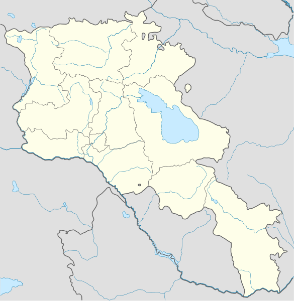
The boundaries on this map show the de facto situation. This is just one of several different views on the subject (see COM:NPOV). |
Zjeće
| wopis |
Deutsch: Positionskarte von Armenien. Quadratische Plattkarte, N-S-Streckung 130 %. Geographische Begrenzung der Karte:
English: Location map of Armenia. Equirectangular projection, N/S stretching 130 %. Geographic limits of the map:
Français : Carte administrative muette de l'Arménie. Projection cylindrique équidistante, avec étirement nord-sud de 130%.
|
||
| datum | |||
| žórło |
Swójske dźěło, using
|
||
| awtor | NordNordWest | ||
| druhe wersije tuteje dataje | Derivative works of this file: Am-map he.svg | ||
| SVG‑Erstellung | |||
| Graphic Lab |
|

Licencowanje
Ja, awtor tutoho dźěła, wozjewjam je z tym pod slědowacej licencu:
Tuta dataja je pod licencu Creative Commons Attribution-Share Alike 3.0 Unported licencowana
- Směš:
- zhromadnje wužiwać – dźěło kopěrować, rozšěrić a dale dać
- změšeć – zo by dźěło přiměrił
- Pod slědowacymi wuměnjenjemi:
- připokazanje – Dyrbiš informacije wo awtorstwje podać, wotkaz k icency přidać a podać, kotre změny sće přewjedł. Móžeće to na přihódne wašnje činić, ale nic tak, zo zaćišć nastawa, zo licencudawar was abo waše wužiwanje podpěruje.
- dźělić – Jeli tute dźěło měnješ, přetworjuješ abo na njo natwarješ, móžeš hotowe dźěło jenož pod samsnej abo podobnej licencu kaž tuta rozšěrić.
Wersije dataje
Klikń na wěsty čas, zo by wersiju dataje w tutym času zwobraznił.
| Čas | Wobrazowy napohlad | Rozeznaće | Wužiwar | Komentar | |
|---|---|---|---|---|---|
| aktualnje | 23. januara 2022, 01:01 | | 1.169x1.198 (77 kB) | Geralt Riv | fix the svg error |
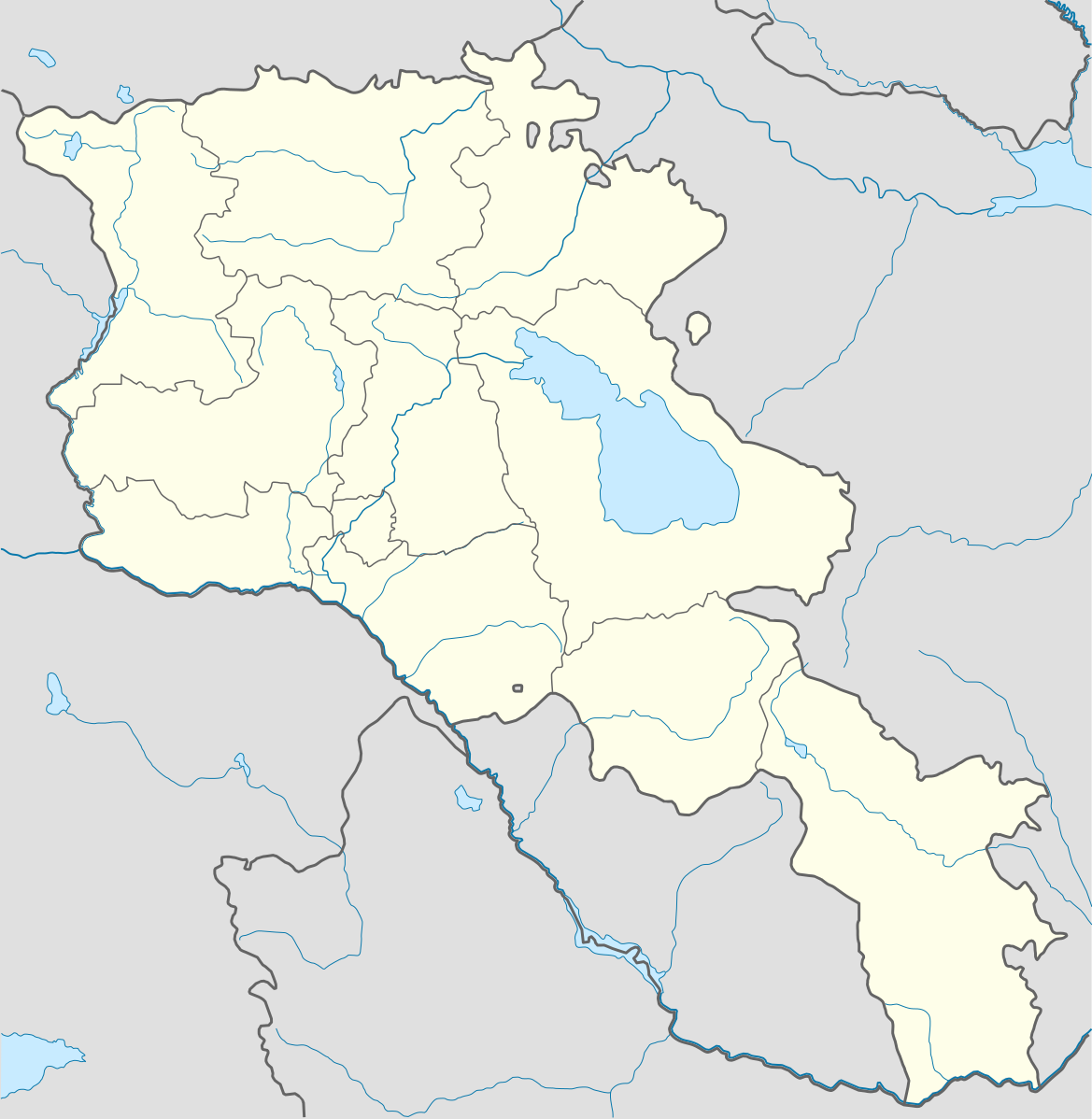
| 19. nowembra 2021, 07:45 |  | 1.169x1.198 (209 kB) | A2D2 | The de facto border changed after the Second Nagorno-Karabakh War in 2020. | |
| 3. měrca 2014, 16:38 |  | 1.169x1.198 (154 kB) | NordNordWest | Reverted to version as of 17:18, 18 January 2014; please find your way to the discussion page first before reverting anything | |
| 3. měrca 2014, 12:18 |  | 1.169x1.198 (209 kB) | A2D2 | Reverted to version as of 19:55, 5 April 2012 | |
| 18. januara 2014, 19:18 |  | 1.169x1.198 (154 kB) | NordNordWest | + de facto border | |
| 5. apryla 2012, 21:55 |  | 1.169x1.198 (209 kB) | Sémhur | ...with the former size | |
| 5. apryla 2012, 21:47 |  | 1.000x1.024 (208 kB) | Sémhur | Adding few rivers : Dzoraget, Aghstafa, Azat, Vedi and Megri | |
| 15. januara 2011, 13:52 |  | 1.169x1.198 (271 kB) | NordNordWest | according to http://commons.wikimedia.org/w/index.php?title=User_talk%3AVarmin&action=historysubmit&diff=48288330&oldid=40674250 | |
| 14. januara 2011, 19:54 |  | 1.160x1.190 (286 kB) | Varmin | concordance avec les autres cartes vectorisée. | |
| 28. awgusta 2010, 18:58 |  | 1.169x1.198 (271 kB) | NordNordWest | Barxudarlı, Yuxarı Əskipara and Karki stay officially non-Armenian (see en:List of enclaves and exclaves), no changes without discussion |
Datajowe wužiwanje
Njejsu strony, kotrež tutu dataju wužiwaja.
Globalne wužiwanje dataje
Slědowace druhe wikije wužiwaja tutón wobraz:
- Wužiwanje na av.wikipedia.org
- Wužiwanje na az.wikisource.org
- Wužiwanje na ba.wikipedia.org
- Wužiwanje na bn.wikipedia.org
- Wužiwanje na bs.wikipedia.org
- Wužiwanje na ckb.wikipedia.org
- Wužiwanje na de.wikipedia.org
- Wužiwanje na de.wikivoyage.org
- Wužiwanje na en.wikipedia.org
- Wužiwanje na eo.wikipedia.org
- Wužiwanje na es.wikipedia.org
- Wužiwanje na fa.wikipedia.org
- Wužiwanje na fr.wikipedia.org
- Matenadaran
- Stade Hrazdan
- Galerie nationale d'Arménie
- Stade Républicain Vazgen-Sargsian
- Stade Mika
- Stade Alashkert
- Stade Kasakhi Marzik
- Mère Arménie
- Université d'État d'ingénierie d'Arménie
- Projet:Cartographie/Cartes standards/Pays
- Mausolée d'Aghdsk
- Musée d'histoire de l'Arménie
- Erablur
- Université française en Arménie
- Wikipédia:Atelier graphique/Cartes/Archives/avril 2012
- Cimetière de Noradouz
- Musée Erebouni
- Université américaine d'Arménie
- Cinéma Moscou
- Temple de Garni
- Maison-musée Vazgen-Sargsian
- Module:Carte/données/arménie
- Musée historique de Sisian
- Stade Urartu
- Stade de l'Académie de football d'Erevan
- Wužiwanje na gv.wikipedia.org
- Wužiwanje na hy.wikipedia.org
- Wužiwanje na incubator.wikimedia.org
Globalne wužiwanje tuteje dataje pokazać