
Dataja:Amboise Loire Panorama - July 2011.jpg
Wulkosć tutoho přehlada: 799 × 313 pikselow. Druhe rozeznaća: 320 × 125 pikselow | 640 × 251 pikselow | 1.024 × 401 pikselow | 1.280 × 502 pikselow | 2.560 × 1.003 pikselow | 7.000 × 2.743 pikselow.
Wersija z wyšim rozeznaćom (7.000 × 2.743 pikselow, wulkosć dataje: 5,78 MB, typ MIME: image/jpeg)
Zjeće
| wopis |
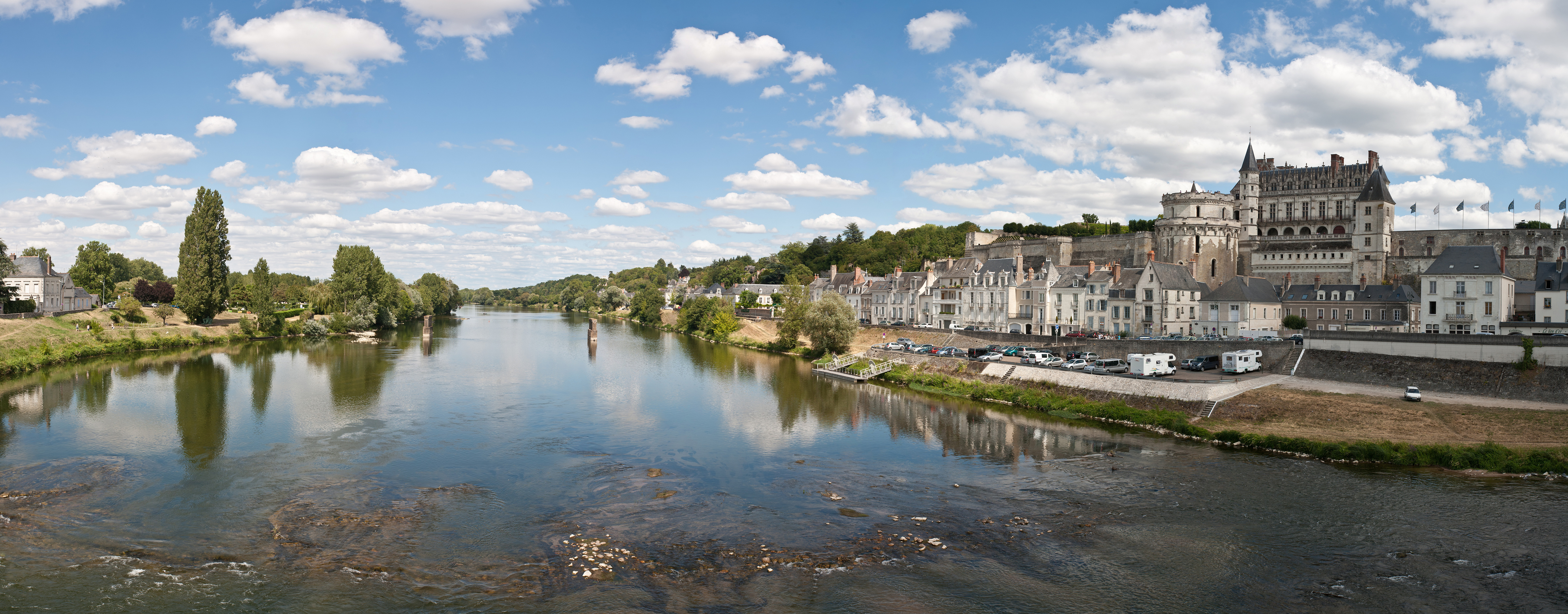
English: A five segment panoramic view of the Loire River at Amboise, France. |
| datum | |
| žórło | Swójske dźěło |
| awtor | Diliff |
| dowolnosć (dalewužiwanje tuteje dataje) |
Summary:In using this image or any subsequent derivatives of it, you are required to release the image under the same license. As such, any reproduction of this image, in any medium, must appear with a copy of, or full URL of the license.Attribution of this image to the author (DAVID ILIFF) is also required, preferably in a prominent location near the image.No other conditions may be added to, or removed from this license without the permission of the author and copyright holder.Suggested attribution: "Photo by DAVID ILIFF. License: CC BY-SA 3.0"Please review the full license requirements carefully before using this image. If you would like to clarify the terms of the license or negotiate less restrictive commercial licensing outside of the bounds of GFDL/CC-BY-SA, please contact me by email, or if you don't have a Wikipedia account you can either leave a message on my talk page with your contact details and your request, or you can contact me on Facebook. Please also send a 'friend request' to ensure that I am aware of your message. |
| druhe wersije tuteje dataje |
| Pozicija kamery | | Tónle a dalše wobrazy pola: OpenStreetMap |
|---|

|
HINWEIS:
Für dieses Bild wurden mehrere einzelne Aufnahmen per Software zusammengefügt und dabei notwendigerweise digital nachbearbeitet. Beispielsweise kann es erforderlich gewesen sein, Ungleichheiten der Einzelbilder infolge von Objektivfehlern, unterschiedlicher Perspektive oder Parallaxe an den Übergängen einander anzupassen. Daher gibt dieses Panorama möglicherweise die Realität nicht in jedem Detail exakt wieder.
|
Licencowanje
Ja, awtor tutoho dźěła, wozjewjam je z tym pod slědowacymi licencami:
Tuta dataja je pod licencu Creative Commons Attribution-Share Alike 3.0 Unported licencowana
- Směš:
- zhromadnje wužiwać – dźěło kopěrować, rozšěrić a dale dać
- změšeć – zo by dźěło přiměrił
- Pod slědowacymi wuměnjenjemi:
- připokazanje – Dyrbiš informacije wo awtorstwje podać, wotkaz k icency přidać a podać, kotre změny sće přewjedł. Móžeće to na přihódne wašnje činić, ale nic tak, zo zaćišć nastawa, zo licencudawar was abo waše wužiwanje podpěruje.
- dźělić – Jeli tute dźěło měnješ, přetworjuješ abo na njo natwarješ, móžeš hotowe dźěło jenož pod samsnej abo podobnej licencu kaž tuta rozšěrić.

|
Směće tutón dokument pod wuměnjenjemi licency GNU Free Documentation License, wersija 1.2 abo nowša wersija, wozjewjeneje wot załožby Free Software Foundation kopěrować, rozšěrjeć a/abo změnić; njejsu njezměnite wotrězki, njeje žadyn prědni a žadyn zadni wobalkowy tekst. Kopija licency je we wotrězku z titulom GNU Free Documentation License wobsahowana. |
Móžeš licencu swojeje wólby wubrać.
Dieses Bild wurde unter Berücksichtigung der Leitlinie für Qualitätsbilder bewertet und gilt als Qualitätsbild.
|
Wersije dataje
Klikń na wěsty čas, zo by wersiju dataje w tutym času zwobraznił.
| Čas | Wobrazowy napohlad | Rozeznaće | Wužiwar | Komentar | |
|---|---|---|---|---|---|
| aktualnje | 4. awgusta 2011, 12:57 | 7.000x2.743 (5,78 MB) | Diliff | {{Information |Description ={{en|1=A five segment panoramic view of the Loire River at Amboise, France.}} |Source ={{own}} |Author =Diliff |Date =2011-07-10 |Permission ={{Diliff/Licensing}} |other_versions |
Datajowe wužiwanje
Dataja so na slědowacych stronach wužiwa:
Globalne wužiwanje dataje
Slědowace druhe wikije wužiwaja tutón wobraz:
- Wužiwanje na ca.wikipedia.org
- Wužiwanje na de.wikivoyage.org
- Wužiwanje na en.wikipedia.org
- Wužiwanje na nl.wikipedia.org
- Wužiwanje na no.wikipedia.org
- Wužiwanje na sl.wikipedia.org
- Wužiwanje na tr.wikipedia.org